


Head Office
|
Aleja TysiƒÖclecia 11 82-300 ElblƒÖg |
|
phone: +48 (55) 237 60 00 fax: +48 (55) 237 60 01 |
|
E-mail address: |
Office in Warsaw
|
ul. Grzybowska 80/82 lok. 700 00-844 Warszawa |

The research works of LAB/opegieka focus on development of the innovative technologies related to processing and remote sensing data analyses. We create our own solutions in line with the current artificial intelligence development trends.
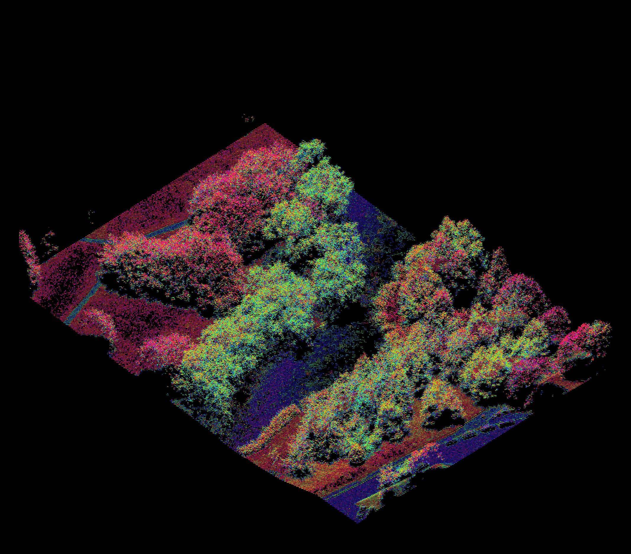
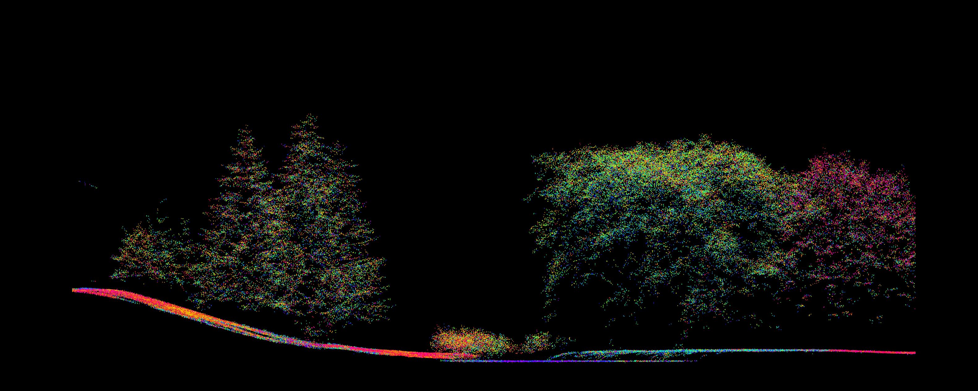
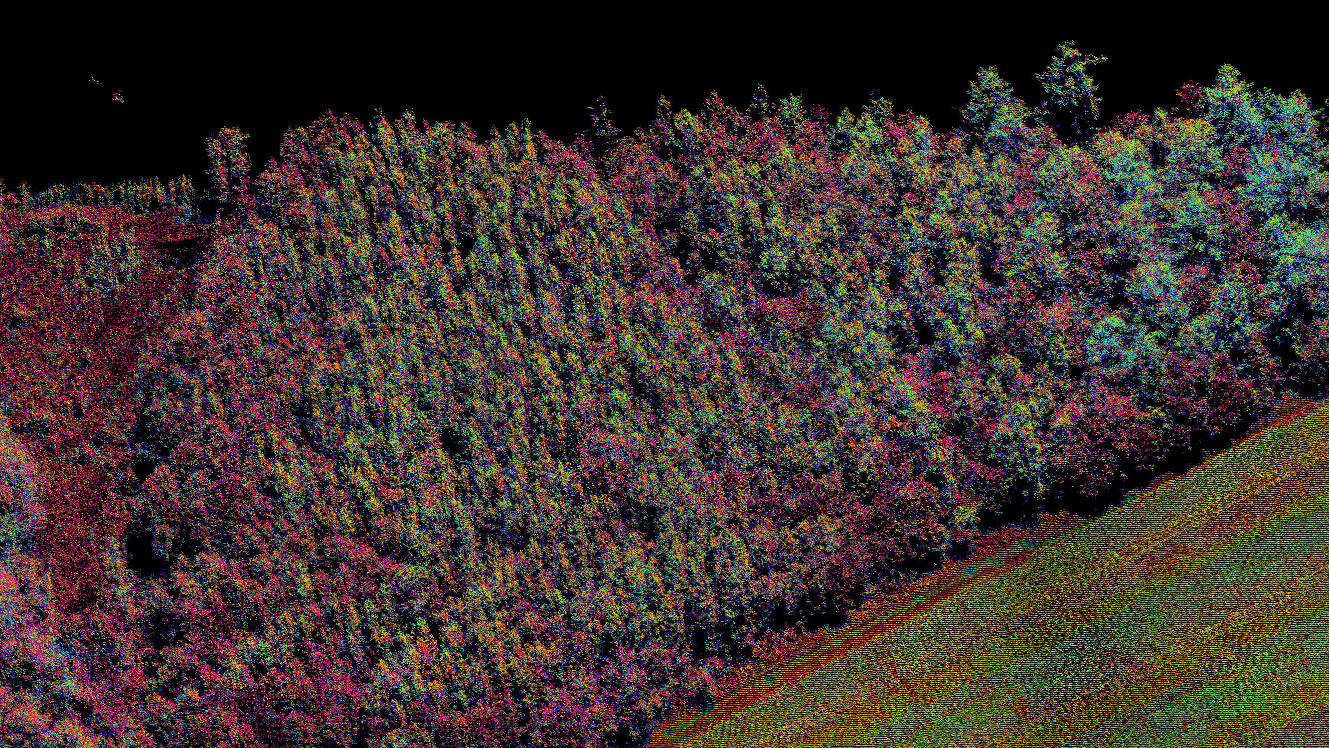
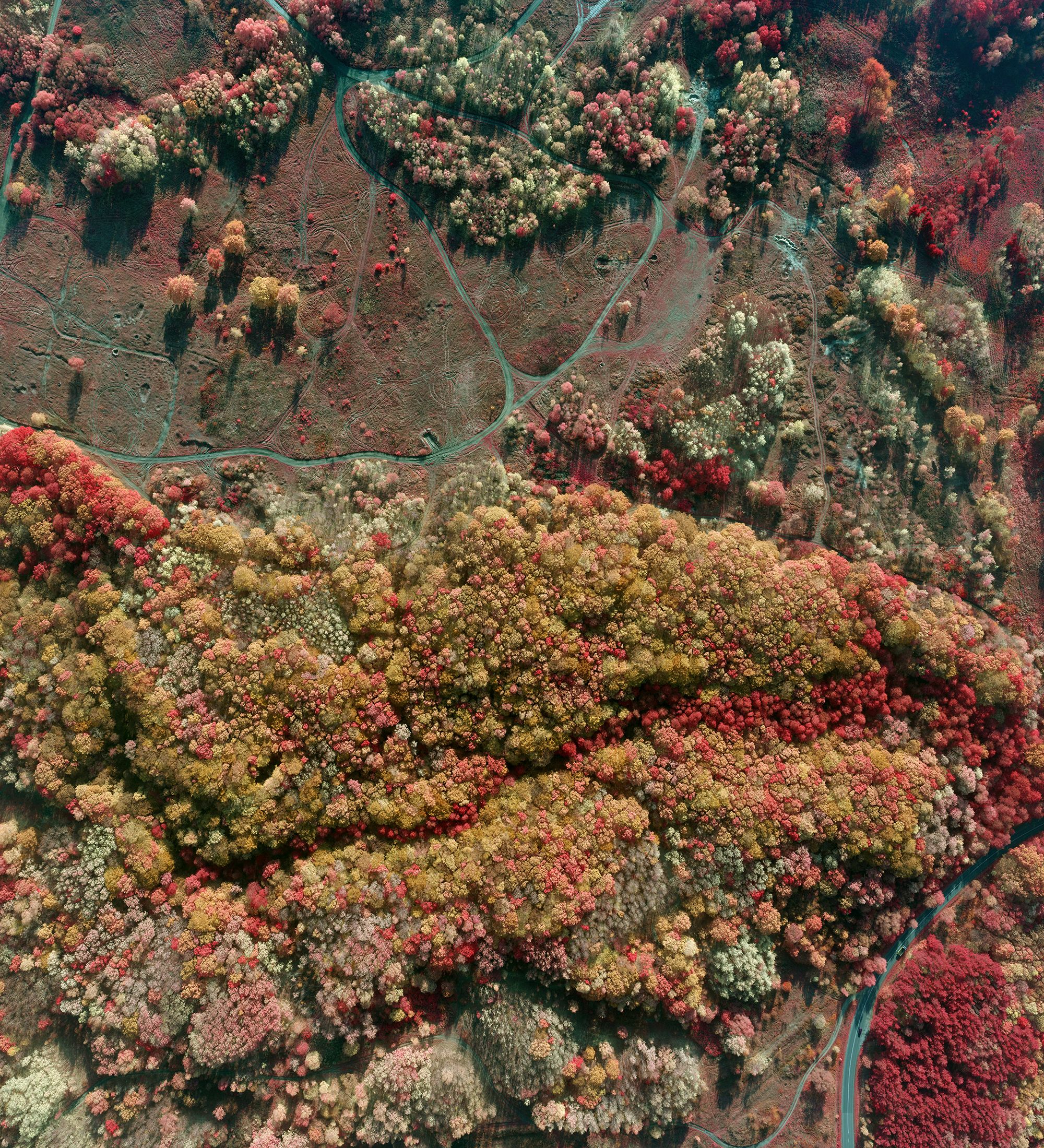

The project objective is to devise and develop a ‘self-learning’ IT analytical platform supporting the process of forest management on the basis of imaging data captured by the photogrammetric cameras and point clouds captured by the multispectral laser scanner (LiDAR).
While building the platform, the following research works are carried out:
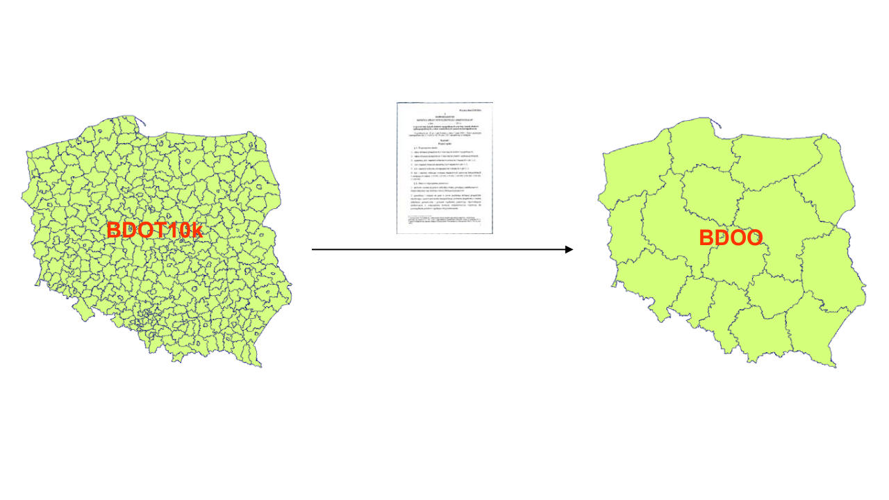
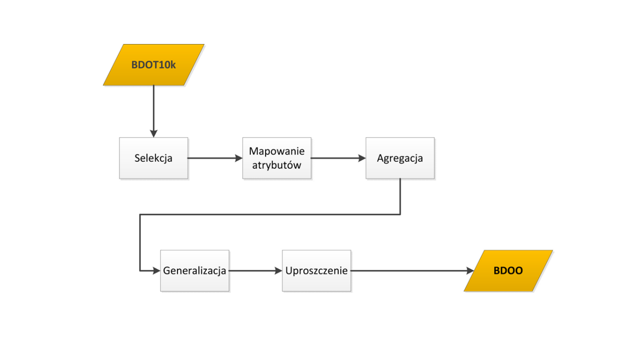
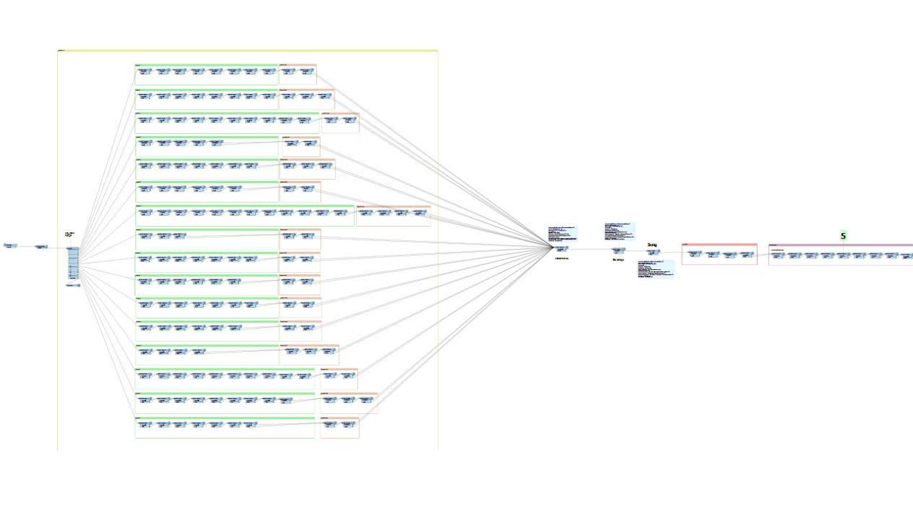
Building of data generalisation process of BDOT10k database to BDOO database
The technology and module of automatic data generalisation of BDOT10k database to BDOO (General Geographic Database) were developed, which allowed for eliminating manual work of the operator. The tools developed allow for processing the territory of entire Poland, which results in the possibility of generating the updated General Geographic Database upon each update of BDOT10k database, and thereby the users may be provided with small-scale data which can be used for GIS analyses within the area of a voivodeship or entire country without the necessity of acquiring entire BDOT10k database.

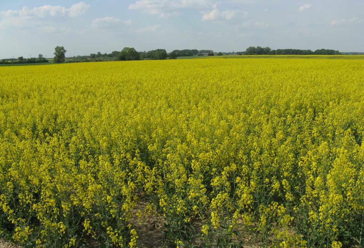
The goal of the project is to provide insurance companies with a system based on satellite, aerial, meteorological and spatial data for comprehensive insurance sales support, claim settlement and information on the risk of insurance. The project is implemented jointly with the Remote Sensing Center of the Institute of Geodesy and Cartography as part of the continuation of the project financed by ESA - "ASAP - Advanced Sustainable Agricultural Production".
The system under construction provides solutions for selling insurance and handling damages in the scope of:
|
Aleja TysiƒÖclecia 11 82-300 ElblƒÖg |
|
phone: +48 (55) 237 60 00 fax: +48 (55) 237 60 01 |
|
E-mail address: |
|
ul. Grzybowska 80/82 lok. 700 00-844 Warszawa |

